< Previous | List | Next > Exploring the mines of Cripple Creek Mining District; the mining town of Victor, Colorado; a drive to catch sunset in Black Canyon of the Gunnison
Click to enlarge!

Cripple Creek Mining District

Cripple Creek Mining District
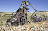
Cripple Creek Mining District
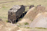
Cripple Creek Mining District

Cripple Creek Mining District

Victor, CO
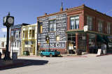
Victor, CO
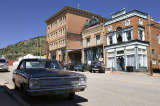
Victor, CO

Black Canyon of the Gunnison National Park

Black Canyon of the Gunnison National Park
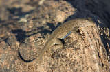
Black Canyon of the Gunnison National Park
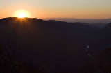
Black Canyon of the Gunnison National Park
I took my time getting ready, and then drove from Colorado Springs to Cripple Creek district. This took about an hour, and obviously by then the best morning light had already gone. Instead, my first shots were of some kind of blue bird, and then I walked around with my cameras, taking in the various mining buildings around Theresa Mine. Unlike my previous visit the year before, when a thunderstorm was passing over the area, the sky was a perfect blue. As such I didn't have to worry about rain or lightning.
I spent about an hour here, and then drove on to Victor; a small mining town that is still inhabited. Once again, the better weather allowed me to do my exploration on foot. There were a handful of painters set up on the street - I suppose the genuine-looking surroundings of a mining past and present didn't just appeal to this photographer; and at least they didn't have to concern themselves with such things as "golden hours" and "one good shooting hour".
Afterwards, I turned south, following a road that once used to hold the tracks to the Florence and Cripple Creek Rail Road. The "Gold Belt Tour" was qualified as a "National Back Country Byway". I couldn't quite understand the attraction - or maybe I was just burnt out on scenery - and as a consequence reached paved Highway 50 without taking any further shots.
I followed highway 50 west, stopping briefly at a large strip mining operation that had pretty much obliterated one half of a mountain, and then again at Dillon Pinnacles.
An hour later, I finally reached the south rim of the Black Canyon of the Gunnison. This canyon is often compared to Grand Canyon, even if these two don't have much in common: Black Canyon is much steeper and the rock is entirely different in colour. What they do have in common, especially when comparing to the Tuweap part of Grand Canyon, is the steep drop-off at the viewpoints.
I stopped at each of the viewpoints, heading west. A lot of the canyon was already in shadow, and I was trying to make up my mind which viewpoint would make a good sunrise spot.
I watched the sun set at Sunrise View, which was aptly named even though my shots didn't really come out all that spectacular, mostly because there's such a stark contrast between the dark, dark valley bottom and the blinding summer sun.
After the sun was gone, I returned to the South Rim Campground, and called it a day.
Miles driven: 283mi (455km)
![]() Accommodation: South Rim Campground (Black Canyon of the Gunnison): $10
Accommodation: South Rim Campground (Black Canyon of the Gunnison): $10
Written 23th June 2009 in Bivange, Luxembourg.