< Previous | List | Next > More touring in San Francisco, drive towards Yosemite National Park and hike to Upper Yosemite Fall
Click to enlarge!
San Francisco
San Francisco
Yosemite National Park
Yosemite National Park (Yosemite Falls trail)
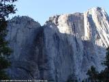
Yosemite National Park (Yosemite Falls trail)
Yosemite National Park
 Looking out of a San Francisco Cable Car
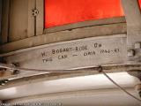
For our last few hours in San Francisco, we're taking the Cable car downtown. We do a bit of shopping (Nordstrom). On our way up, the cable car has "H. Bogart Rode On This Car - circa 1946-47" scribbled on the roof, but I'm not sure if that message is authentic. Pretty early in the morning, we are heading back to our motel, and after a short chat with the person in the reception, who has almost the same name as me and is originally from Germany, we're out of San Francisco.
Somewhere along the way to Yosemite, while we're stopping for lunch at a Burger King (2 Medium Cokes, 1 Whopper, 1 Big Fish, 2 Medium Fries for $7.83) I first hear and then see the first American railroad passing by. I only manage to take a snapshot of the "Southern Pacific" engine.
Somewhere along Hwy 120, we climb the first mountain pass [I can neither remember its name, nor find it on a map]. It has become remarkably hotter, quite a change from all the grey and cold at the coast.
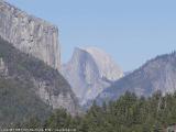
We enter Yosemite N.P. via the Big Oak Flat entrance around 3:30pm and pay $50 for a National Park pass. Shortly before the tunnel on Hwy 120, we pull over at a turnout and I shot the first photograph of Yosemite Valley.
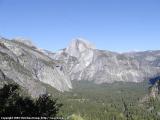
I drive on to Sunnyside Campground, the starting point for the Upper Yosemite Fall trail. While it is only a 2 miles round trip, it is marked as "strenuous", as it gains 1,000 feet in elevation over many, many switchbacks. I manage to shot a few pictures of the valley and the mountains from higher up, but it's a pretty big disappointment when we arrive at Yosemite Fall and notice there is absolutely no water. In retrospective, it wasn't very smart to hike up to the upper falls without seeing the lower falls first (which would just have been a 1/2 mile "easy" round trip)...
 Rising moon in Yosemite National Park
The way down isn't as easy, not because I'm tired, but because my feet hurt. Why? Because I was wearing socks that were slightly too large, so they would roll up around the achilles tendon, and create friction. So the first thing I'm doing when we finally reach the parking, after much complaining and cursing, is to get out of the shoes, pull off the socks, carefully clean and band-aid the wound, and then proceed to the nearest waste-bin to throw away the socks. Lesson learned, I think.
We exit via the Arch Rock entrance, and it is getting dark while we're taking Hwy 140 to Mariposa, and then proceed to Oakhurst over Hwy 49.
Miles driven: 270mi (435km)
![]() Accommodation: Comfort Inn (Oakhurst, CA): $80.95 plus 9% tax
Accommodation: Comfort Inn (Oakhurst, CA): $80.95 plus 9% tax